China issues prickly follow-up to dismissal of map
BEIJING — China today (March 18) re-emphasised its dismissal of a map of the Senkaku Islands showing that the country once described the controversial islets using their Japanese names.

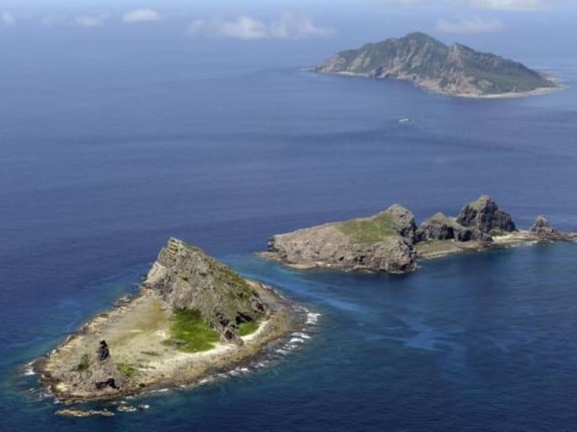
A group of disputed islands, Uotsuri island (top), Minamikojima (bottom) and Kitakojima, known as Senkaku in Japan and Diaoyu in China is seen in the East China Sea. Reuters file photo
BEIJING — China today (March 18) re-emphasised its dismissal of a map of the Senkaku Islands showing that the country once described the controversial islets using their Japanese names.
Although the map, which was recently published on the website of Japan’s Foreign Ministry, has not garnered much attention in Japan itself, it seems to have provoked a surprisingly prickly response from Beijing.
The issue strikes at the heart of a long-standing quarrel between the two countries over the ownership of the tiny islands in the East China Sea.
China claims the islands, which it calls Diaoyu, have belonged to it for hundreds of years, with only a brief interruption beginning in the late 19th century and ending after World War II, when they were annexed by Japan.
Japan, however, insists that China expressed no interest in the islands until a 1969 United Nations study suggested that the surrounding waters might be rich in oil and gas.
Tokyo believes that the recent discovery of the map, which was taken from an official Chinese atlas published in 1969 and uses the islands’ Japanese name, proves its claim.
Yesterday, China’s Foreign Ministry dismissed the assertion, stating that, map or no map, the islands are China’s.
Today, however, Beijing seems to have reconsidered its offhanded remark and chosen to provide an in-depth explanation of its thinking on the subject.
The map, China now says, is an illustration of Taiwan, which is an inherent part of Chinese territory. Therefore, the islands — which occupy the upper-right corner of the page — are also clearly intended to be represented as part of Taiwan and, it follows, China.
In other words, the map, China now argues, bolsters, not diminishes, its claims.
The somewhat convoluted explanation was the lead item on state-run China Central Television’s noon broadcast today.
It made a second appearance later in the day, when Foreign Ministry spokesman Hong Lei argued that the map showed the islands as part of Taiwan, “powerfully proving that the Diaoyu are a part of China”.
Mr Hong did not, however, provide a clear explanation of why China had decided to use the Japanese name for the islands.
The usage, he said, “reflects Japan’s occupation of Taiwan, the historical fact that it snatched the Diaoyus”. KYODO NEWS


