Why accessibility matters
Advertisements for new condominiums all boast of exclusive living, great locations and high accessibility — accompanied by phrases such as “five-minute drive to the nearest primary school”, “eight-minute walk to the MRT station”, “10-minute drive to the nearest mall”, and “20-minute drive to the central business district”.
Advertisements for new condominiums all boast of exclusive living, great locations and high accessibility — accompanied by phrases such as “five-minute drive to the nearest primary school”, “eight-minute walk to the MRT station”, “10-minute drive to the nearest mall”, and “20-minute drive to the central business district”.
Clearly, accessibility matters to people.
In transportation planning, accessibility is defined as the ability of people to reach certain destinations in order to meet their needs or satisfy their wants. It is broader than the term “accessibility” we use in everyday life — which usually refers to ease of access, such as that provided by ramps, escalators and lifts.
Higher accessibility means being able to reach more destinations within the same amount of time.
In fact, instead of how long it takes to reach the nearest MRT station, of greater relevance is probably the number of jobs accessible within 30 minutes on the bus or train, or the number of schools accessible within a 10-minute walk.
It is the destination that counts, not the MRT station itself. After all, nobody travels on a daily basis because it is fun.
TACKLING CONGESTION, MOBILITY
In order to increase accessibility, transport authorities around the world have sought to reduce congestion and increase mobility.
In Singapore, for example, the Ministry of Transport and the Land Transport Authority have implemented measures to curb congestion, such as the Electronic Road Pricing (ERP) and widening roads.
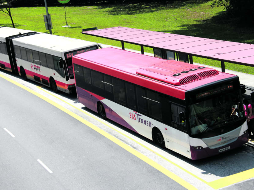
The Government has also focused on improving access to bus stops by building more sheltered walkways and putting in place design guidelines for the maximum distance to a bus stop within HDB estates.
However, reducing congestion and increasing mobility alone are not sufficient to improve accessibility.
Associate Professor A P Gopinath Menon of the Nanyang Technological University’s School of Civil and Environmental Engineering was recently quoted in the local media as saying: “No city in the world has managed to build itself out of congestion.”
Counter-congestion measures already implemented fail to consider the underlying motivation for travelling: The spatial separation between living, working and playing. Different members of the family will have jobs at different places; education opportunities are spread out and you want to meet your friends in the evening at a cinema, bar or restaurant usually at a central location.
To improve accessibility, three factors need to be considered: Travel times, comfort and convenience, as well as proximity of destinations.
TRAVEL TIMES AND CONVENIENCE
Accessibility differs according to the transport mode as the travel times vary. For example, many of us feel that using public transport means longer travel times than private cars. Thus, fewer destinations within a similar travel time are accessible to you by public transport. This translates to lower overall accessibility.
Travel times are also calculated without taking into consideration the time it takes for one to walk to the bus stop, or whether there are sheltered walkways to reach the MRT station, and so on.
Travel does not just constitute the time when one is sitting in a bus. Would not getting to and from Orchard Road by bus be more convenient if buses were able to traverse in both directions, making Orchard Road equally accessible to everyone coming from both the east and west?
On a local level, other improvements can be made to reintroduce the pedestrian crossing at Paterson Road; introducing more pedestrian crossings in general would greatly improve the walkability of the city. These measures should, of course, be thoroughly evaluated by all stakeholders, and the scenarios should be well tested in a simulation environment before implementation.
Experiences also differ between user groups. For example, having to cross an overhead bridge just to get to a bus stop significantly decreases accessibility for the elderly. Measures to improve access to public transport, such as wheelchair-friendly buses, increase the possibilities for the elderly and wheelchair-bound folk, but not for mothers with prams — they are required to master the art of folding the pram and holding the child while boarding the bus and tapping their EZ-Link cards.
IT’S ABOUT PROXIMITY — AND PLANNING
Improving accessibility is a task that lies not just in the hands of the transport planner — this is something that urban planners have to consider as well, because there is a notably important relationship between transport and land-use planning.
For example, the density of a city like Amsterdam was planned such that all destinations are separated by not more than a 20-minute cycle. Mixed-use in Paris is realised by having commercial and business activity on the ground floor with residential use on the higher levels, similar to the older HDB estates in Singapore.
In the past, major shopping malls were almost exclusively built in the Orchard Road, City Hall and Bugis areas, and this has led to major congestion issues during peak and prime hours.
Today, while Orchard Road remains the main shopping belt in Singapore, there are many other malls in the heartlands or decentralised locations such as VivoCity. This increases the number of opportunities and alternatives for people residing in these areas.
Another good example is the location of educational institutions. For many years, institutes of higher learning, such as the National University of Singapore and the Nanyang Technological University, were located in the western part of the island, and students would have to travel on public transport to get to school.
With the setting up of the Singapore Management University in the city centre and relocation of the Singapore University of Technology and Design to Tampines, there is a more equal distribution in terms of educational opportunities.
More measures can be implemented — for example, including more land designated for commercial and business within residential areas, more entrances and exits to MRT stations, easier bus transfers, shorter waiting times and bicycle sharing systems at convenient locations, and even more parking spaces for car-sharing schemes.
Some of these measures area already planned for in the Ministry of National Development’s land use and transport plans for 2030, such as the creation of regional job centres and the construction of additional MRT lines.
To truly make these measures successful, they should be evaluated in terms of their accessibility for all user groups and transport modes. Regional job centres should either be directly connected to a MRT or developed as an integrated transit hub, within easy travelling distance of residential areas or between residential blocks.
Clementi MRT station is an example of a hub with residential and commercial opportunities, as it is directly connected to several residential blocks, shophouses and a mall.
Such a hub could be expanded with more job opportunities. Well-connected and evenly distributed regional centres would balance the transport flows in the city, leading to more comfort and convenience — but more importantly, would address the issue of overcrowded peak-hour travel.
Increasing accessibility in Singapore, or in any city for that matter, is no easy task. Many policy measures span across disciplines, ministries and agencies, and require the authorities and experts from various fields to consider the trade-offs in their respective departments. This makes decision-making even more complex.
Improving accessibility will greatly increase the liveability of Singapore as a city, and this is something that we must not overlook.
ABOUT THE AUTHOR:
Michael van Eggermond is a researcher in the Mobility and Transportation Planning research module at the Future Cities Laboratory (FCL), established by ETH Zurich and Singapore’s National Research Foundation.


