Tech in NTU’s 2 satellites clears tests, proves commercial viability
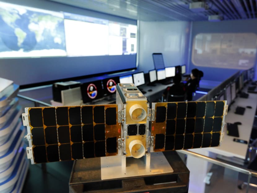
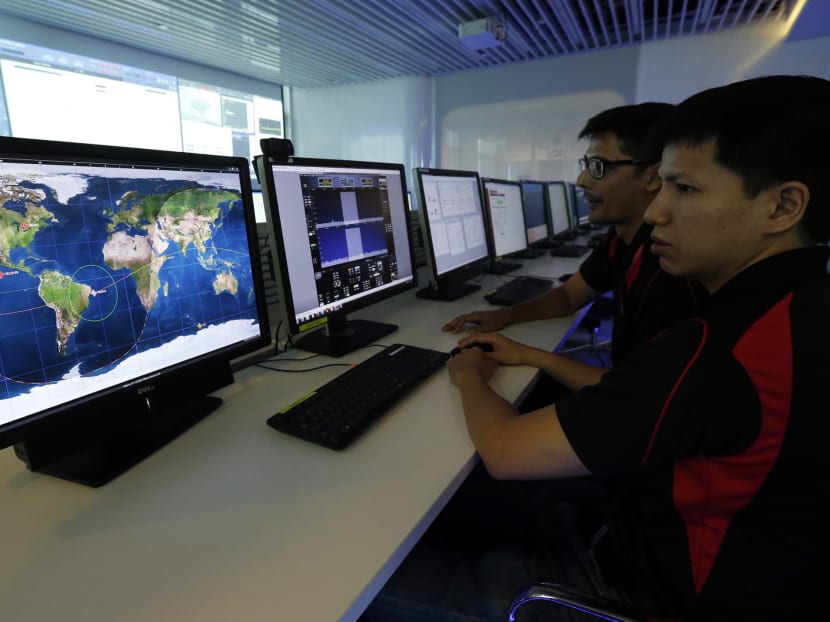
SINGAPORE — Government agencies and commercial firms here will be able to tap Nanyang Technological University’s (NTU) satellite technologies, after two of its satellites, which were launched late last year, successfully completed their first space missions earlier this week.


SINGAPORE — Government agencies and commercial firms here will be able to tap Nanyang Technological University’s (NTU) satellite technologies, after two of its satellites, which were launched late last year, successfully completed their first space missions earlier this week.
While in space, the two satellites – VELOX-CI and VELOX-II – carried out experiments to test made-in-Singapore components, such as precise and fast-locking GPS receivers, and radiation-resistant hardware.
Apart from government agencies, NTU aims to work with private companies to enable its satellites to take on more commercial payloads.
One of the NTU satellites – the VELOX-CI microsatellite – measures atmospheric temperature, humidity and pressure by detecting and measuring the bending of GPS signals.
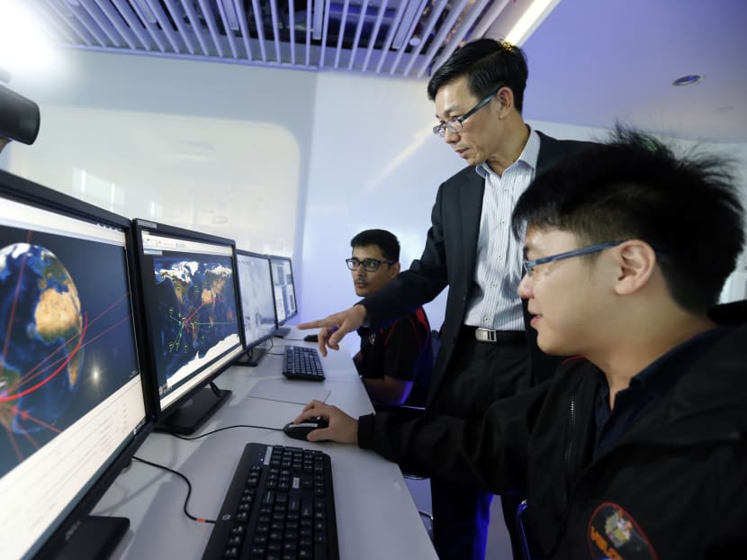
Such data can be used by scientists to study climate change, said Associate Professor Low Kay Soon, director at NTU’s Satellite Research Centre, at a media conference today (Feb 4).
Unlike most other satellites designed for a polar orbit — orbiting around the poles — the VELOX-CI is orbits around the equator. “Areas near the equator is less studied, so the satellite can complement (research) in this area by gathering data for study by the National Environment Agency,” Assoc Prof Low said.
The VELOX-II nanosatellite features an Inter-Satellite Data Relay System (IDRS), which is owned by local company Addvalue Innovation. This proprietary technology allows data to be sent back to NTU via other higher orbit satellites, without the use of a ground station.
This means that data can be transmitted quickly even when the satellite is not within the line of sight of its ground station, and can be useful in disaster response management.
“Earthquakes, landslides … you can take a picture for the bigger satellite and the IDRS can be used to transfer the data back to the mission control centre. So, by assessing the data immediately, a response team can be sent out (to) assess the damage and what kinds of responses can be meted out (after),” Assoc Prof Low said.
Other uses of of NTU’s satellite technologies include studying the long-term movement of land here. “(Singapore Land Authority) can use the satellite images and correlate (them) with ground movement and from there, they can study the long term movement of the land,” said Assoc Prof Low.
The development of these satellite technologies demonstrate that Singapore has “the necessary human capital” to do so in a field where barriers to entry are high, noted Assoc Prof Low.
With the global space economy worth some US$330 billion, he pointed out it was a market that could bring economic growth and benefits to Singapore.
Noting that most satellite technologies are controlled by the countries which developed them, Assoc Prof Low said: “We need to have the expertise and the know-how to develop our own satellite technologies, in order to build our own satellites.”
NTU’s next satellite, the AOBA VELOX-III, will be launched in partnership with Japan’s Kyushu Institute of Technology later this year.


