Work starts on cycling path network in Ang Mo Kio
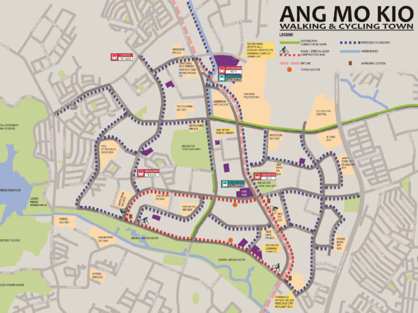
SINGAPORE — Work to transform Ang Mo Kio into the model town for being cyclist- and pedestrian-friendly has begun, with a 4km cycling path expected to be completed by the first half of next year, the authorities said today (Dec 3).


SINGAPORE — Work to transform Ang Mo Kio into the model town for being cyclist- and pedestrian-friendly has begun, with a 4km cycling path expected to be completed by the first half of next year, the authorities said today (Dec 3).
The cycling path forms one section of a 20km route that will loop through the whole neighbourhood, making it the longest in any residential town.
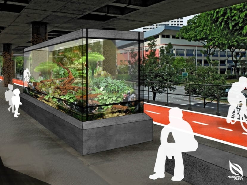
But beyond providing the infrastructure, the authorities are also testing out new ideas, such as making walking a more pleasant option by featuring large terrariums with special orchids along walking corridors.
Details of some of these plans were announced by the Land Transport Authority (LTA) and Urban Redevelopment Authority (URA) in a news release today.
LTA chief executive Chew Men Leong said: “We have actively involved the community in our planning ... We hope that this will support a more active lifestyle and truly change the way people move around in
their neighbourhood.”
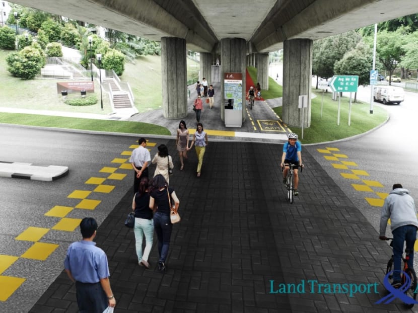
When most of the enhancements are complete by 2018, parts of the walking/cycling network will be elevated, such as that at the busy junction of Ang Mo Kio Avenues 3 and 8, so that residents can bypass Ang Mo Kio MRT station safety and easily.
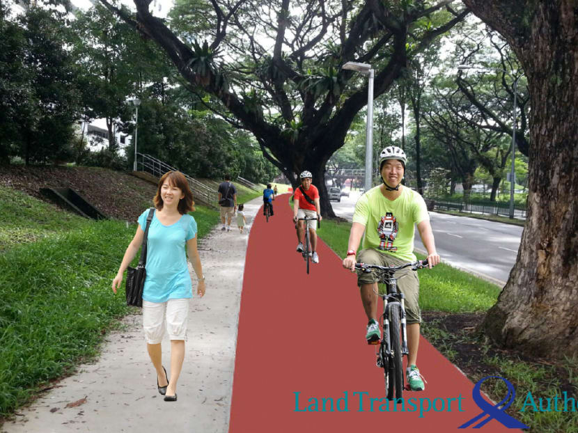
To enhance safety, cycling paths will be marked out in red while pedestrian priority zones will be created in areas where pedestrians and cyclists often come into contact with each other, such as behind bus stops. These zones will include rumble strips to slow cyclists down to a safe speed, and markings to help pedestrians and cyclists keep to their side of the path.
Safety features will be added near traffic junctions and informal crossings to slow motorists down. Where feasible, the use of slip roads will be reduced.
Features to make walking a more pleasant option will also be added. Apart from installing large terrariums, which are a relaxing sight to pedestrians, there are also plans to place uncommon and native forest plants under a viaduct that will serve as a walking corridor linking Yio Chu Kang MRT Station and Bishan-Ang Mo Kio Park.
Fitness stations and play equipment will also be built for residents’ use. Mapboards highlighting key amenities and transport nodes, and totem boards with speed-check functions will also be installed.
The blueprint to transform Ang Mo Kio was first unveiled in December last year, following which a series of focus group discussions were held with Ang Mo Kio residents, whose ideas were incorporated in the design of the network.
Residents will also be roped in to develop a code of conduct, and roll out educational programmes to shape gracious and safe walking and cycling, the LTA and URA said last year.
Ang Mo Kio is the authorities’ second cycling town after Tampines, which has been criticised over the years over some features, such as the lack of separate and clearly delineated paths for cyclists and pedestrians.
Conflicts that arose from reckless driving and cycling had in the past also pushed Tampines to enact by-laws empowering town council officers to act against impetuous cyclists.


