Project to map S’pore data ready by 2017
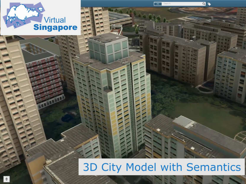
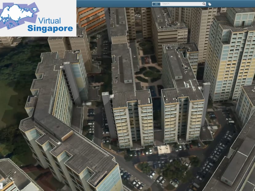
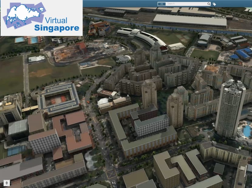
SINGAPORE — A dynamic 3D model of the Republic, integrating a raft of data and serving as a collaborative platform for the Government, businesses and the general public, will be available by 2017.


SINGAPORE — A dynamic 3D model of the Republic, integrating a raft of data and serving as a collaborative platform for the Government, businesses and the general public, will be available by 2017.
Promising a plethora of possibilities, Virtual Singapore — a S$73 million project by the National Research Foundation (NRF), Singapore Land Authority (SLA) and Infocomm Development Authority — will be the “authoritative 3D digital platform” for various users to develop sophisticated tools and applications for planning, testing concepts and services, as well as research on technologies to solve emerging and complex challenges, a joint statement by the three agencies said yesterday.
For example, policy planners can simulate crowd control and evacuation measures, plan scenarios for the delivery of municipal services and analyse pedestrian flows. Describing Virtual Singapore as a “useful and convenient platform for individuals to make collective decisions”, the agencies said communities would also be able to, say, choose the colour of paint for a Housing and Development Board block, flag amenities that are defective or suggest new facilities in their estates. Individuals can share photographs and videos and tag their contributions via handheld devices.
The platform — which was one of the projects highlighted by Prime Minister Lee Hsien Loong last week at the launch of the Smart Nation initiative — uses existing data from various government sources such as the SLA’s OneMap and 3D National Topographic Model as well as the Urban Redevelopment Authority’s 3D Singapore City Model.
Work began last year with the SLA collecting information via laser-scanning technology from low-flying planes. Fine details such as the type of vegetation along a pavement or the composition of a building’s material will be captured. Certain information, such as movement of people and the climate, will be updated in real time.
Mr George Loh, NRF director of physical sciences and engineering, said: “It is not only a 3D graphical model … (it) contains information and people can come in and participate, contribute ideas, even innovate … that is the power of Virtual Singapore.”
Common functions will be free for use by the general public. However, businesses seeking to develop specialised features may have to pay for access, the NRF said. Its spokesperson added: “As 3D city models with semantic information is an emerging technology, we would need to explore what types of information, functions and services may require some form of fee payment during the development of Virtual Singapore.”
For security reasons, the extent and depth of information accessible will be limited for members of the public. The particulars and details of people who provide the data will also be omitted.
App developers whom TODAY spoke to were keen to tap the platform. To achieve its full potential, they hope the authorities will cut the red tape on data access. Mr Toh Kian Khai, business development director of Gothere.sg, said: “Currently, many government agencies want to know exactly what the data will be used for before they are ready to open up (information). Sometimes, we don’t even know and just want to explore.”
Mr Jerry Lim, owner of Megapixel Solutions, which developed apps such as SG Traffic Cam and Cab@SG, added: “Based on our past experiences, not all government agencies are forthcoming with information. The usefulness of this platform will hinge on how restrictive access will be.”
He suggested allowing users to merge different data sets for better analysis. “Instead of viewing isolated data sets, filters and overlays can be put in place to let users retrieve, say, the percentage of broadband users who also drive cars, for example,” Mr Lim said.
Apart from issues of privacy and security, Mr Anthony Lim, vice-chairman of the Application Security Advisory Council, pointed out the risk of irresponsible users providing misleading information as data for the map. He felt that the authorities should verify and record the details of information providers, even if these are omitted from public view. He added that only the authorities should be able to edit the information. “We don’t want to turn this into a public ‘Wikipedia’, where anyone can modify or delete data,” he said.


