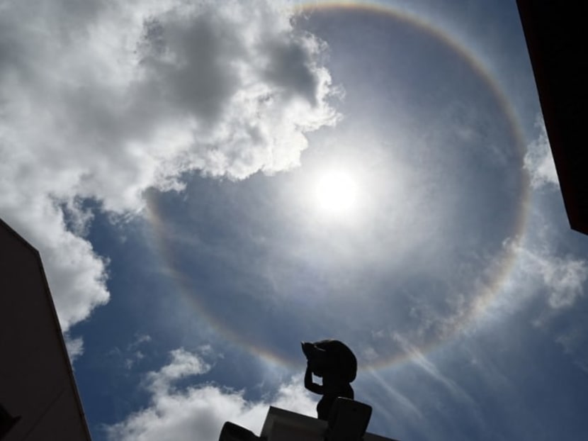
Warm and dry weather expected in first half of July
SINGAPORE — More warm days and drier weather are expected in the first half of July, with daily maximum temperature likely to range between 33°C and 34°C on most days.
SINGAPORE — More warm days and drier weather are expected in the first half of July, with daily maximum temperature likely to range between 33°C and 34°C on most days.
The daily maximum temperature is expected to reach highs of about 35°C on a few days, said the Meteorological Service Singapore on Friday (July 1).
There could also be some warm nights with temperatures of about 28°C.
The prevailing Southwest Monsoon conditions are expected to persist over Singapore and the surrounding region in the coming fortnight, with the prevailing winds continuing to blow from the south-east or south-west.
In the first week of July, Singapore and the surrounding region may experience dry and warm conditions, due to a mass of dry air moving eastward from the Indian Ocean over the equatorial Southeast Asian region.
In the second week, short-duration thundery showers are expected between the late morning and afternoon over parts of the island on several days.
Thundery showers could be widespread on one or two days, and may extend into the early evening.
Additionally, island-wide thundery showers with occasional gusty winds can be expected in the predawn and morning on one or two days.
“The rainfall for the first fortnight of July 2022 is forecast to be below average over most parts of the island,” said the Met Service.
WARM CONDITIONS EXPECTED ON MOST DAYS
Warm conditions are expected on most days in the first half of July, with daily temperatures ranging between 25°C and 34°C.
Some nights are expected to be warm, particularly when the prevailing winds blow from the south-east or south, bringing warm and humid air from the sea over the land. Temperatures of around 28°C can be expected on these nights.
JUNE WEATHER REVIEW
In its review for June, the Met Service noted that most of the thundery showers occurred in the afternoon due to "strong solar heating of land areas".
On June 8, widespread moderate to heavy thundery showers fell over the island between late afternoon and night. The total rainfall of 121.2mm recorded at Sentosa that day was the highest daily total for the month.
There were also a few nights where moderate to heavy thundery showers fell over the island due to the convergence of winds over the region.
The Met Service also highlighted the several spells of moderate to heavy thundery showers between the early hours and morning of June 20. The highest daily total rainfall from the widespread rain that day was 103mm at Kent Ridge.
Compared to May, June was less warm due to more rain days. Daily maximum temperature ranged between 32°C and 34°C on many days, exceeding 34°C on a few days.
The highest daily maximum temperature of 35.1°C was recorded at Paya Lebar on June 8.
Almost all parts of the island received above-average rainfall in June, with the highest anomaly of 169 per cent above average recorded at Simei and the lowest anomaly of 14 per cent below average at Punggol. CNA
For more reports like this, visit cna.asia.


