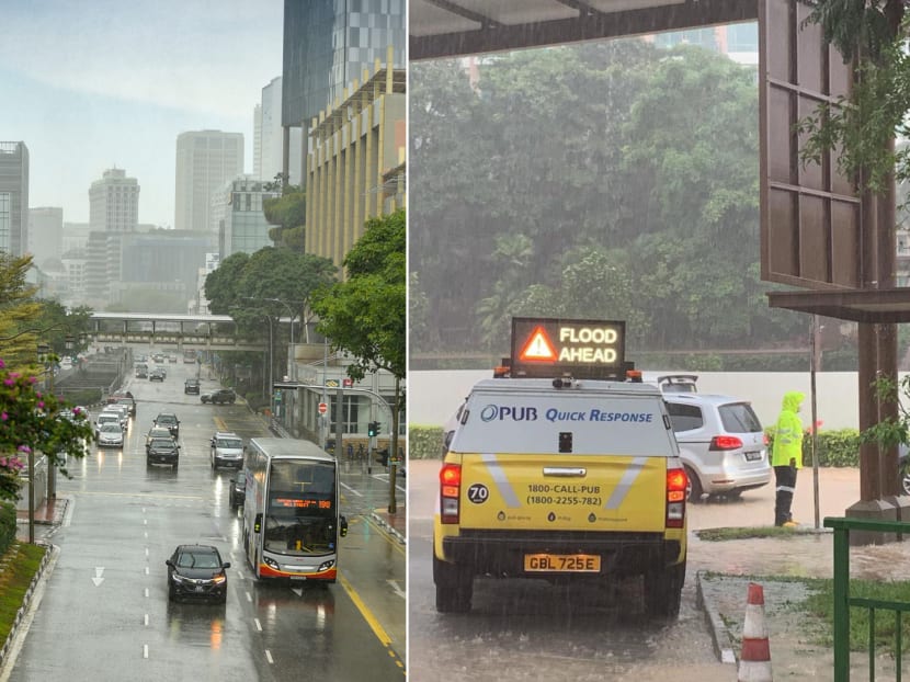
Rainfall on Aug 24 surpasses previous record for same month in 1983
SINGAPORE — Rainfall hit a record high on Tuesday (Aug 24), with more rain falling over parts of the island than any other day in August since 1983.

Rainfall over Singapore was heaviest over the northern and western parts of the island, and the temperature dipped to 21.3°C as of noon on Aug 24, 2021.
SINGAPORE — Rainfall hit a record high on Tuesday (Aug 24), with more rain falling over parts of the island than any other day in August since 1983.
As of noon, the highest daily total rainfall recorded was 239.8mm at Mandai and 226.2mm at Bukit Panjang — the highest daily total rainfall for August to date.
They surpassed the highest daily total rainfall of 181.8mm at Changi that was recorded on Aug 22 in 1983.
The National Environment Agency (NEA) gave these numbers after flash floods were reported across various parts of Singapore due to heavy showers that began in the morning.
As of noon on Tuesday, the highest rainfall intensity over an hour was 84.8mm, and this was recorded at Mandai.
For comparison, NEA said that the highest rainfall intensity recorded over a period of an hour during a recent spell of heavy rain was 95.8mm at Chua Chu Kang last Friday.
The lowest temperature recorded as of noon on Tuesday was 21.3°C, taken at the Newton Road area.
NEA said that the showers on Tuesday were a result of prevailing winds from the south and southwest converging around the island.
The rainfall was heaviest over the northern and western parts of the island.
National water agency PUB said earlier on Tuesday that flash floods occurred along Dunearn Road between Sime Darby Centre and Binjai Park, causing the road to be impassable.
It urged commuters in the morning to avoid certain areas in the northern and western parts of Singapore where water levels in the drains and canals had reached 90 per cent.
Over the last few days, the rainy weather was due to a strong convergence of winds over Singapore and the surrounding areas, NEA said.
“The equatorial Pacific Ocean is currently in a neutral state with no developing El Nino or La Nina,” it added.
El Nino is the abnormal warming of the tropical Pacific Ocean which, in the case of South-east Asia, leads to prolonged drier and warmer weather.
La Nina is the opposite phenomenon — it is the abnormal cooling of the Pacific Ocean.
“The Indian Ocean Dipole is currently in a negative state which typically brings more rainfall to the region, and could be a contributing factor to the recent weather we have been experiencing,” said NEA.
The Indian Ocean Dipole is a weather event that refers to the sustained change to the difference between sea surface temperatures of the tropical western and eastern Indian Ocean. Thundery showers can be expected between the morning and early afternoon over the next few days, it added.


